
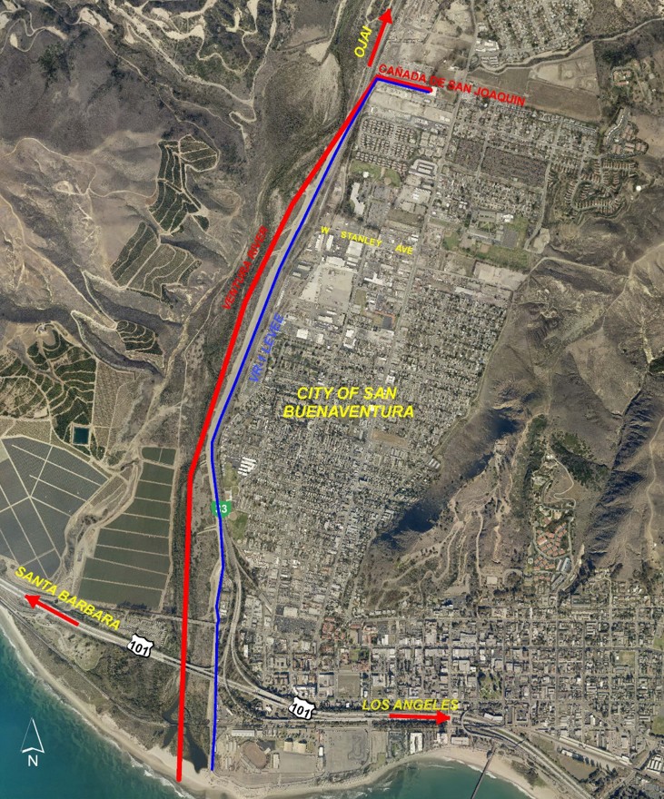
The SCR-1 levee, constructed in 1961 by the U.S. Army Corps of Engineers (USACE) and owned and maintained by the Watershed Protection District (WP), extends from Highway 101 to South Mountain along the east bank of the Santa Clara River. It protects from flooding parts of the City of Oxnard, the Riverpark development, and unincorporated areas, including the community of El Rio. It has been determined that the levee no longer meets FEMA standards and is in need of rehabilitation.
Link to webpage: https://publicworks.venturacounty.gov/wp/santa-clara-river/santaclarariverlevee
PROJECTS IN DESIGN PHASE
Watershed Protection | Design and Construction


The Santa Paula Creek Flood Risk Management (FRM) Project begins at the northern boundary of the City of Santa Paula and traverses 1.65 miles south through the eastern part of the city, below the Ventura County Transportation Commission railroad, Telegraph Road, and State Highway 126 bridges, and finally joins the Santa Clara River. The expected peak flood flow increase renders the FRM Facility deficient in meeting the original design intent. Therefore, significant areas within the City of Santa Paula’s lower end will remain flood prone and potentially subjected to higher flood insurance cost increases.
Link to Webpage: Santa Paula Creek – Ventura County Public Works Agency

Improvements are required to get FEMA certification of the existing U.S. Army Corps of Engineers’ built Levee and provide 100-yr flood protection.